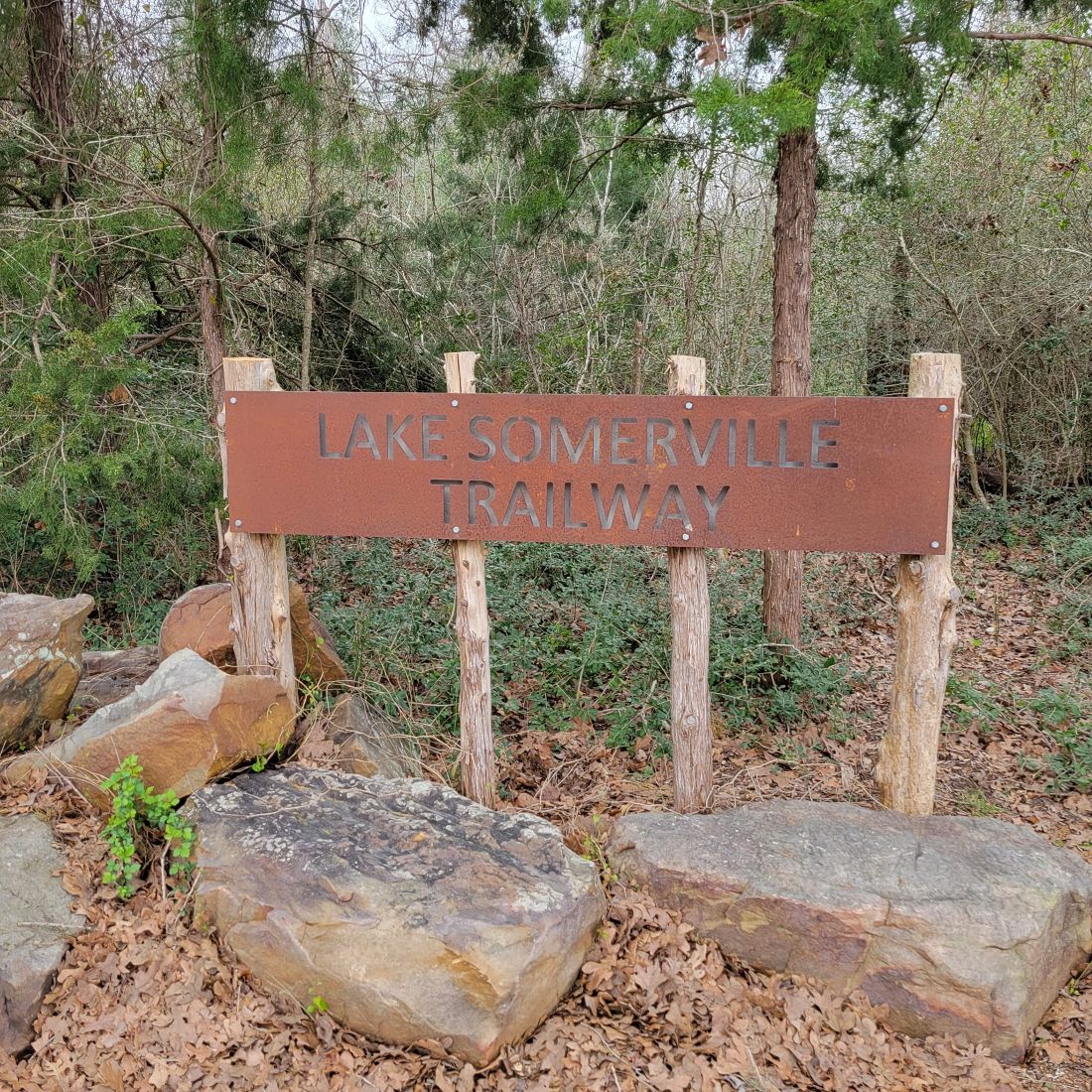
Park #9 (Nails Creek Unit) and #10 (Birch Creek Unit)
March 2nd, 2024
Distance in the Nails Creek Unit: 3.13 miles running and 2.16 miles hiking
Distance in the Birch Creek Unit: 4.8 m hike
Weather: Started at 58 degrees in the morning with some cloud cover, but became sunny and 65 degrees for the afternoon hike
The hubby and I decided to visit both units of the Lake Somerville State Park on the same day. The Birch Creek Unit was on the north shore of the lake, while the Nails Creek was on the south. There is supposed to be a trailway that connects the two units, but it’s a vicious lie. Just kidding! They are honest with you at the entrance station. Two bridges have been washed out along the trailway, and the trail is impassable. But you can hike out to the bridge, turn around, and come back from either unit. The nice employee at the Nails Creek Unit mentioned that state civil engineers were viewing the bridges, but she was unsure if that meant repairs were going to start.
The employee at the visitor center gave us the option to park on County Road 125 or 140 to access the majority of the trails that were cut off from the crossings, but hubby had his heart set on the trailway. I was indifferent. I had low mileage requirements.
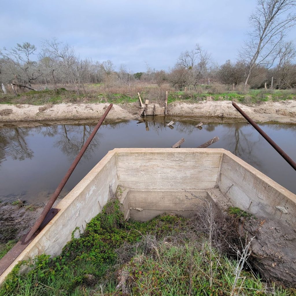
At Nails Creek Unit, the hubby set out on the trailway, hoping he might be able to wade across the water to the other side and complete the entire trail. The broken bridge was about two miles in, so I started hiking, and he started running. I turned around before making it to the bridge for a brief 5k run. He sent a text with a picture of the (absent) bridge and the high water it used to traverse. It was deep and filled with debris from the bridge. He would have to swim, avoid the underwater hazards, and wear wet clothes the remainder of the day. He chose to turn around instead.
If you choose the hike on this side, be aware that there is no lake access along the trailway. The trail sits a quarter to a half mile away, and the brush on the shoreline is thick. These are low-lying areas as well, so if it has rained, you will be getting your feet wet. I did.
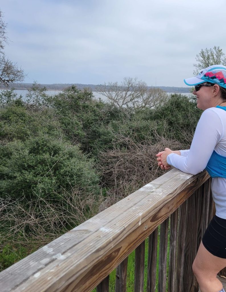
When I met back up with the hubby, we hiked the Bent Tree and Overlook Trails, both higher in elevation and well-shaded. On the Overlook Trail, a platform sits above the trees that offers a nice view of the lake. With all of the brush and trees, the lakeshore looks lush.
We drove over to the Birch Creek Unit on the north shore, about a forty-five-minute drive. There are no restaurants on the way, so we had a lunch of trail mix and fig bars. Delicious and nutritious!
Now the hubby was itching to get his 13-mile run, so he sprinted off, and I chose to meander around some trails. I took the Wilderness Run, Bucktail Run, Cedar Loop, and Beautyberry Trails that afternoon, following along the shoreline. They range between ten and fifteen feet from the water, but you can follow some unofficial trails down to the lake. The weather warmed, so the meadow portions of the trail became uncomfortably hot. But most of these trails are shaded, and a breeze from the lake was refreshing. I started to feel woozy an hour into my walk, which was unusual for me. I don’t like to ignore my body, so I turned around and returned to the car.
While on the Beautyberry Trail, there were signs of a fire. I hadn’t recalled any wildfire warnings posted at the visitor center. Upon closer inspection, the tops of the grasses were burnt, leaving a bit of green near the ground. So the destruction resembled a singe rather than a fire. But I also passed a few smoking logs, so to be safe, I notified the visitor center when I returned. The employees were not particularly worried. Apparently, it was a controlled fire, and smoking can occur for up to seven days after the burn. I didn’t get the date of the fire, but I assumed it was within the past week. I lingered at the center until hubby returned because I needed to spend time in the air-conditioned space and buy a root beer. I have priorities, you know.
These parks are designed for boating, so the trails were empty. The website advertises swimming, but you should check with the visitor center for a safe swimming spot. The trailway is advertised for equestrians, and hubby reported he ran by several couples on horseback.
After purchasing some treats at the center, we departed. An argument began over whether we should consider Lake Somerville one park or two. Well, I conceded his point that it should be counted as two because we get two different stamps in our Texas State Parks Passport for each Unit. Plus, we cross over to double digits in our parks count. Boo-yah! Stay safe and see you out on the trails!