Park #5
January 27th, 2024
Distance: 6.63 miles
Weather: Sunny and windy
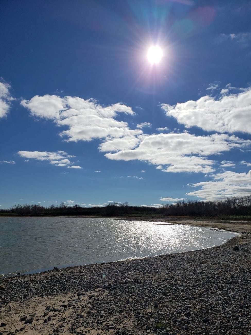
This weekend was a double park visit. On Saturday, my husband and I drove to our first park, Choke Canyon State Park. However, I failed to see either a canyon or anyone choking. The park is a massive lake nestled between low-rolling hills. Whatever canyon that was previously there was flooded when the dam was built. The park caters to boaters, but the lake levels were abnormally low, 25% of normal. With only one boat launch open, there were few boats on the water.
The Calliham unit is the primary entrance. A few hiking trails wound through the park, but several were difficult to find because they started at campgrounds. (Hint: look BEHIND the bathrooms for the trailhead). The terrain is flat with plenty of short, squat trees displaying very sharp thorns on their limbs. In case of a fall, be prepared to bleed profusely. Yikes.
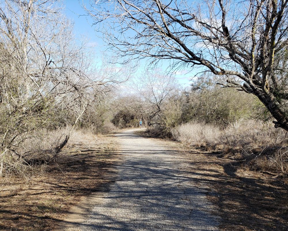
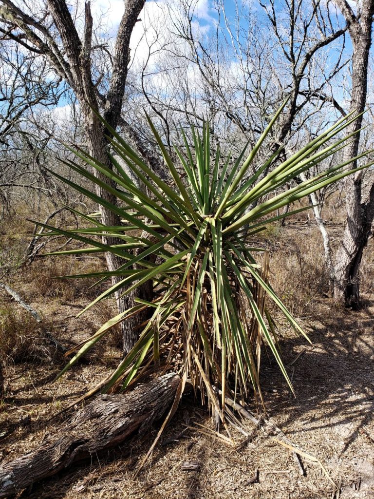
Given the limited trail mileage, I explored the park’s other features. I discovered a swimming area near the campground that wasn’t located on the map. I also wandered across a bird blind and viewed green jays, a hawk, and grackles.
When I reencountered the hubby, I talked him into hiking to a 75-acre lake (titled “75-acre Lake”) and back. The only wildlife on this trail were several lines of leaf-cutter ants. The end of the trail opens up to a picnic area overlooking the lake. Grebes, ducks, and other unfamiliar waterfowl paddled through the lake and nested on the shore. This lake was also at depressingly low levels.
It was windy enough to warrant wearing a jacket while hiking, so the lake was likely quite cold. This may have been the reason for the unpopularity of boating that particular Saturday.
The park staff went to great lengths to mark and name the available hiking trails, although some required hiking a paved road to access the trailhead (about a third of a mile). I would give them the official ‘A’ for effort. Be sure to stop at the visitor center to pick up their updated trail map. It’s much better than what you can find online. In fact, it’s always worth obtaining a map from headquarters for any state park. You might get updated information or trail closures. I never regret getting a map.
The other entrance is called the South Shore unit, and we visited this portion, but it was deserted. The boat launch was closed, and there wasn’t much to see. I wanted to see the dam, and… meh. Not that impressive. There was a structure at the dam scenic overlook that once displayed information on permanent posters, but everything had been torn down, and the structure itself was faded and rusty. There was a creepy, horror-show feel to it. Is this what happens to state parks when they die?
The Frio River exits Choke Canyon Reservoir and merges with the Atascosa and Nueces rivers around the town of Three Rivers. We had lunch at a small diner in Three Rivers, which ended our half-day adventure to this boat-happy state park.